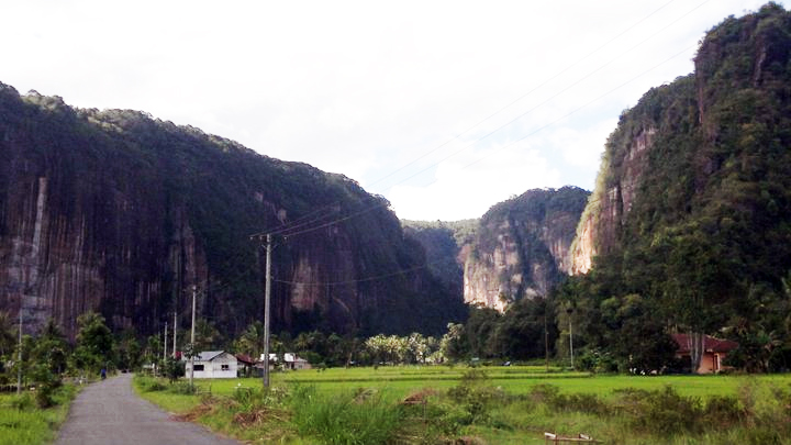
Thursday, November 1, 2018

More about the Valley of Harau


The Harau Valley is a fertile valley located in the District of Harau, Lima Puluh Kota Regency, West Sumatra Province. It is about 138 km from Padang and about 47 km from Bukittinggi or about 18 km from Payakumbuh City and 2 km from the government center of Lima Puluh Kota Regency. This place is surrounded by colorful steep granite stones with a height of 100 to 500 meters.

The Harau Valley is flanked by two steep rocky hills with a height of up to 150 meters in the form of colorful, steep sandstone, with a height of 100 to 500 meters. The topography of the Harau Nature Reserve is hilly and bumpy., the hills include Bukit Air Putih, Bukit Jambu, Bukit Singkarak and Bukit Tarantang. Walking towards the Harau Valley is very pleasant. With fresh air, you can see the beauty of the natural surroundings. The granite cliffs that soar with their unique shapes surround the valley. These steep granite cliffs have an altitude of 80 m to 300 m

Harau Valley has a tropical climate and fertile land, as well as the beauty of charming natural scenery. In the Harau Valley there is a waterfall called Bunta Waterfall or locally called Sarasah Bunta. This waterfall flows fresh fresh water from the highlands with three other waterfalls in this valley. Sarasah Bunta has a beautiful waterfall when it emits sunlight like an angel who is taking a bath, so it is called Sarasah Bunta.

In addition to the Bunta sarasah there is another sarasah called Sarasah Murai because during the day Murai birds are found in this place. Here's the appearance

Harau Valley is actually a nature reserve of 669 hectares. The survey results of a geological team from Germany in 1980 found that the types of rocks found in this area were identical to those found on the seabed in the form of breccia and conglomerate rocks. The legend of the Sarasah community Aka Barayun also relates that around the Harau Valley Nature Reserve was once a sea. The Harau Valley consists of three regions, namely Aka Barayu Resort, Sarasah Bunta Resort, and Rimbo Piobang Resort. Aka Barayun Resort has the beauty of waterfalls and swimming pools plus a beautiful natural feel.

Harau Valley also has the potential for the development of rock climbing because it has steep rocky hills and is able to reflect sound (echo). Here there is also an accommodation facility in the form of a homestay complete with amenities. This is where rock climbing sports enthusiasts like to find their paradise

Steep walls are not only an attraction for photographers but rock climbers are also interested in climbing walls in this valley where there are 300 rock climbing locations. On the other hand, steep rock cliff fences have created beautiful and challenging reliefs especially for those of you who like rock climbing. The steepness of the cliffs in this place reaches 90 degrees with a height reaching 150 to 200 meters. Nothing wrong with it if the Harau Valley becomes a paradise for rock climbing lovers. Climbers dubbed this valley as the Yosemite of Indonesia


Wednesday, October 31, 2018

The Incredible of Matano Lake


Lake Matano is a tectonic lake with a length of 28 kilometers and a width of 8 kilometers in South Sulawesi, precisely located in the eastern tip of South Sulawesi province, bordering Central Sulawesi. This lake is about 50 km from the town of Malili (the capital of East Luwu Regency)


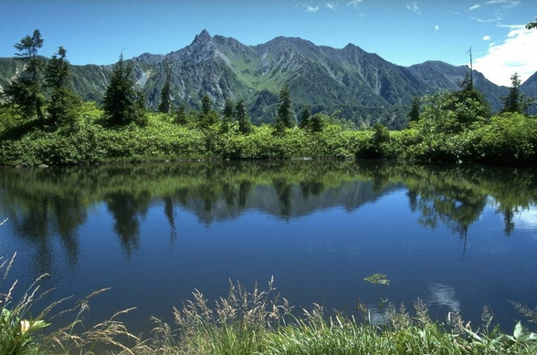
This lake has a depth of 590 meters (1,969 feet).  The lake's water surface is at an altitude of 382 meters above sea level so the depth of the lake's water from the sea surface is 208 meters (cryptodepression). According to WWF, this lake is the deepest lake in Southeast Asia and the eighth deepest in the world.


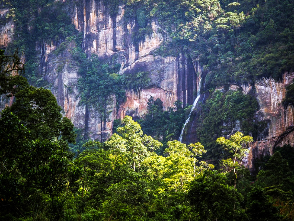
Lake Matano was formed from a strike-slip fault due to tectonic activity that occurred during the Pleocene period. The age of the lake is estimated to range from 1-4 million years ago. Based on sediment characteristics analysis, Lake Matano is the oldest lake among the other four lakes that form the system of Lake Malili (Towuti, Mahalona, Masapi, Lontoa).


Based on the Decree of the Minister of Agriculture No. 274 / Kpts / Um / 4/1979 dated April 24, 1979 the Lake Matano, Mahalona and Towuti area became a conservation area for Nature Park under the name Lake Matano Nature Park, Lake Mahalona Nature Park, and Lake Towuti Nature Tourism Park. With the status of a natural tourism park, Lake Matano is a natural conservation area that is mainly used for tourism and natural recreation. The uniqueness of lakes, ecosystems and biodiversity that are very endemic makes Lake Matano included in the category of Global Ecoregions by the World Wide Fund for Nature


Matano Lake has 6 species of clams (Tylomelania), 3 species of crabs (Gecarcinucidae), 6 species of shrimp and 10 species of sharp fin fish (Thelmaterinidae). One interesting species is the butini fish (Glossogobius matanensis) which lives on the bottom of the lake. One interesting species is the butini fish (Glossogobius matanensis) which lives on the bottom of the lake. Opudi Fish (Telmatherina celebensis) is one of the ornamental fish that is traded both domestically and overseas. The trade name of this fish is Celebes Rainbow Fish or Celebes Sail Fish


Matano Lake is also used as a road to cross between Sorowako and Nuha which connects Morowali District with East Luwu Regency.


Monday, May 21, 2018

The story behind the city of Sawahlunto


Sawahlunto is a small town in Indonesia located in Bukit Barisan West Sumatra. In 1858, De Groet believed that the area around the Ombilin River contained coal deposits. De Groet's allegations were then followed up by Ir Willem Hendrik De Greve in 1867. A more thorough investigation by Ir Verbeck produced surprising findings. It is suspected that the area contains coal with a range of up to tens of millions of tons.

The city of Sawahlunto in West Sumatra transformed itself from a coal mining town into a tourist city since early 2001. In Kota Sawahlunto there are two large hotels that utilize heritage buildings, namely Parai City Garden Hotel and Hotel Ombilin. Even Parai City Garden Hotel utilizes heritage buildings  which was formerly called "Budjangan Building:"

In addition to the two big hotels, Sawahlunto also has about 53 homestays with capacity of 116 rooms. Homestay in Sawahlunto is incorporated in the Homestay Association Sawahlunto where the rooms and services are standardized PHRI (Perhimpunan Hotel and Restoran Indonesia) of West Sumatra and Sawahlunto Tourism Office. This homestay rental price starts from Rp 70,000 to Rp 250,000 and includes two meals.

The government seeks to update the location of the former mine relic that became a tourist destination. the most famous of which is Mbah Soero Mine Hole, which can be visited by tourists at any given time/ 

In this city there is also Ransum Warehouse Museum is a building complex former kitchen of coal miners and patients RSU Sawahlunto which at that time amounted to thousands. This building was built in 1918 during the Dutch colonialism. The common kitchen is equipped with two large warehouses and a steam generator to cook 3,900 kg of rice daily for coal miners.


Sawahlunto city also has heritage buildings that used to be a place to socialize (Societeit) located in the city center with very well maintained condition. Currently used as a Cultural Building

Peningkatan tersebut juga diiringi upaya pembaruan lokasi bekas peninggalan tambang yang menjadi tujuan wisata. Beberapa di antaranya adalah gereja peninggalan kolonial, Museum Gudang Ransum, Lubang Tambang Mbah Soero, serta stasiun dan Museum Kereta Api Sawahlunto yang menyediakan trip kereta uap Mak Itam. Baru-baru ini Sawahlunto juga membangun Waterboom, Dreamland, Bioskop 4 Dimensi, dan Taman Satwa.

Artikel ini telah tayang di Kompas.com dengan judul "Sawahlunto, dari Kota Tambang Jadi Kota Wisata", https://travel.kompas.com/read/2013/06/13/14111881/Sawahlunto.dari.Kota.Tambang.Jadi.Kota.Wisata.
In this city is also still seen the church remains a very preserved ko0lonial, church position is at the end of a two-way meeting in the city center. A historical evidence that colonialism also once ruled here, where there is a fairly large church amid the majority of its population today that is dominated by the Moeslem population

n addition there are also in Sawahlunto City railway museum equipped with railroads ever used and locomotive, dubbed Mak Itam, the museum was formerly a railway station of Sawahlunto city


Some of the coal mining remains also visible from PTBA office buildings using old buildings and also used facilities used in managing coal mining and all of them are located in the city of Sawahlunto

in Saringan area there are 3 silos. The third dimension of the silo is indeed extraordinary as if showing the past glory of Sawahlunto coal mine. In addition to silos there is a giant sizing plant as well. There are also rails connected to this Filter Area. You can imagine how busy and magnificent Sawahlunto at that time. Green grass adds to the beauty and robustness of this Saringan Area. 


Even the official homes for Sawahlunto city leaders also take advantage of the old house of colonial relics


Ending this story there are still some photos of the condition of Sawahlunto City which at first glance similar to the atmosphere in the Netherlands, check it out